

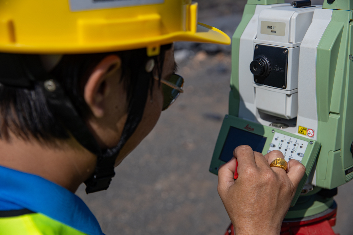
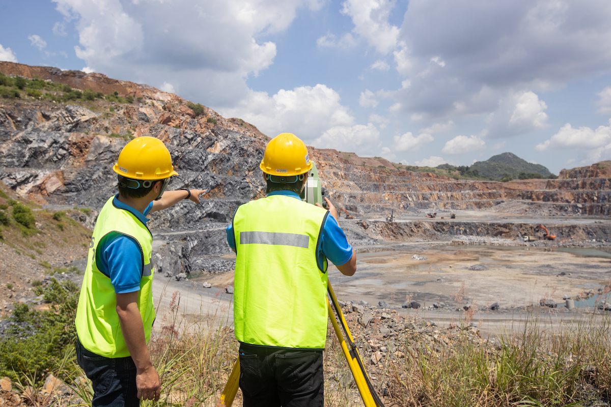
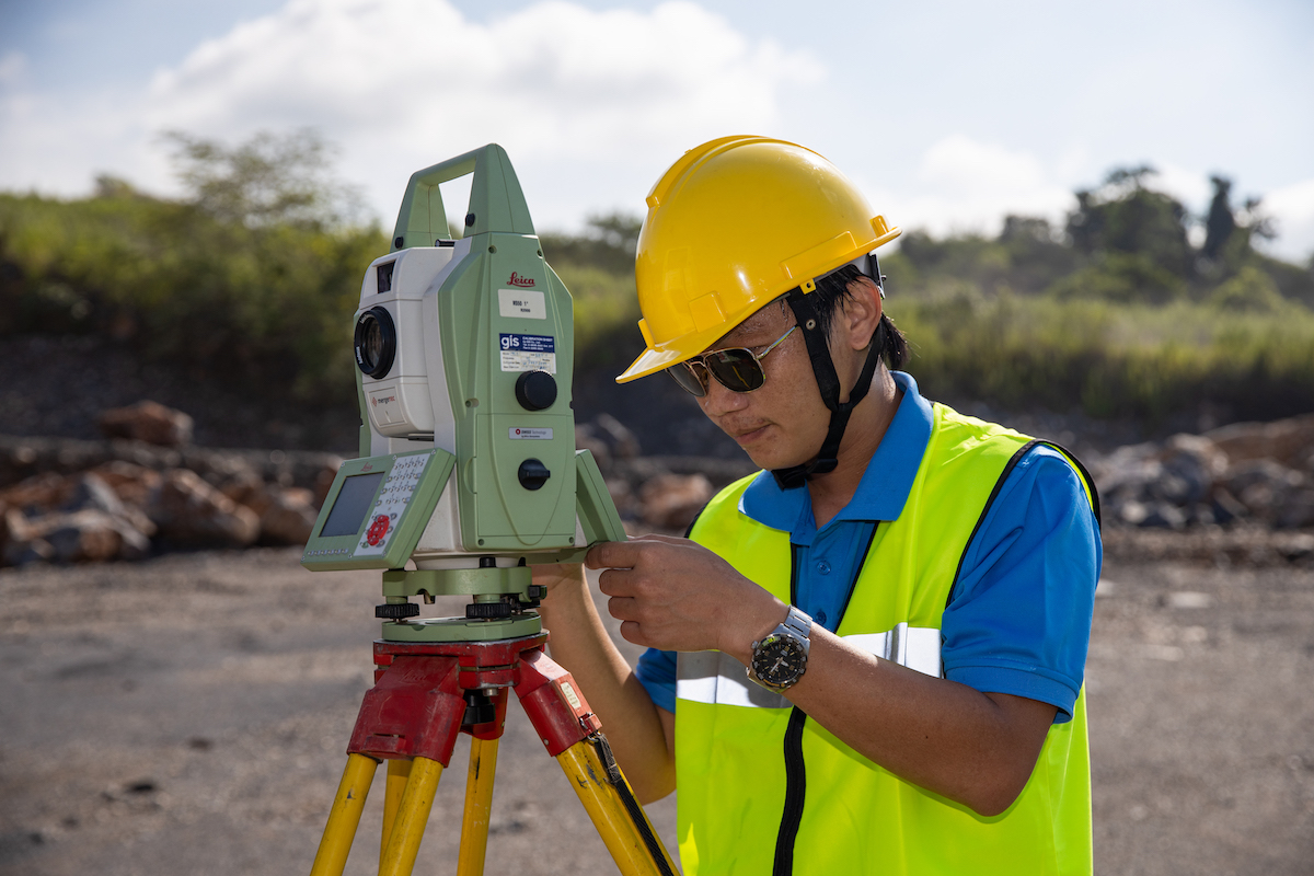
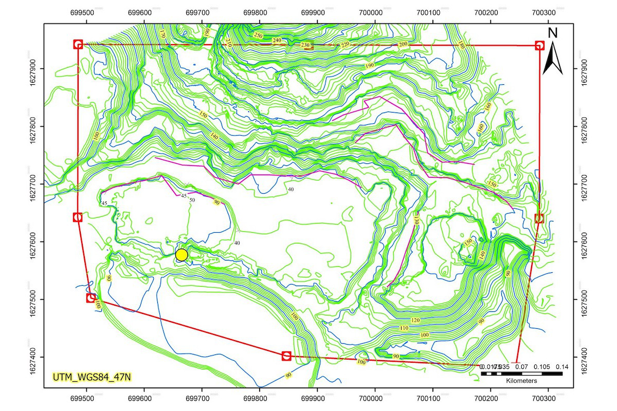
Topographic Survey by Total Station
Mineral Connext
Service Information
Solutions
Technologies and Services
Topographic Survey by Total Station
We provide survey services for topographic mapping, contour mapping, land layout survey, land boundary investigation, land title deed cadastral survey, stockpile survey, and so on with theodolite and international standard and high-resolution GPS-GNSS.
Our services are
- Drone for survey services for topographic mapping, including contour mapping, land layout survey, evidence pin survey.
Our services are suitable for
- Mining industry, construction industry, and topographic mapping.
Cookie Policy
We use Cookies to improve performance of our website in order to deliver visitors the best possible experience. You can learn more about Cookies at